Explore and search
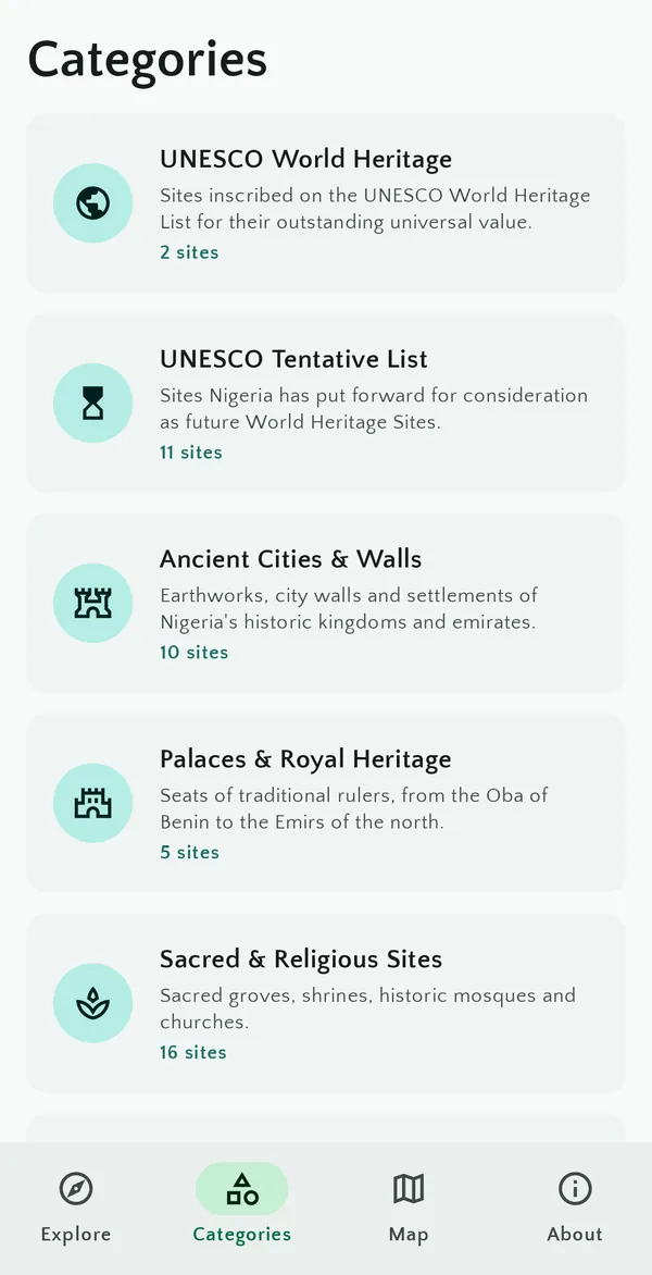
Browse ten categories, from UNESCO sites and royal palaces to rock art and colonial history. Search by name, state or town, or sort by what's nearest.
From the Osun-Osogbo Sacred Grove to the walls of ancient Kano, MyNaija is a guide to the country's World Heritage Sites, palaces, museums, sacred groves and natural wonders.
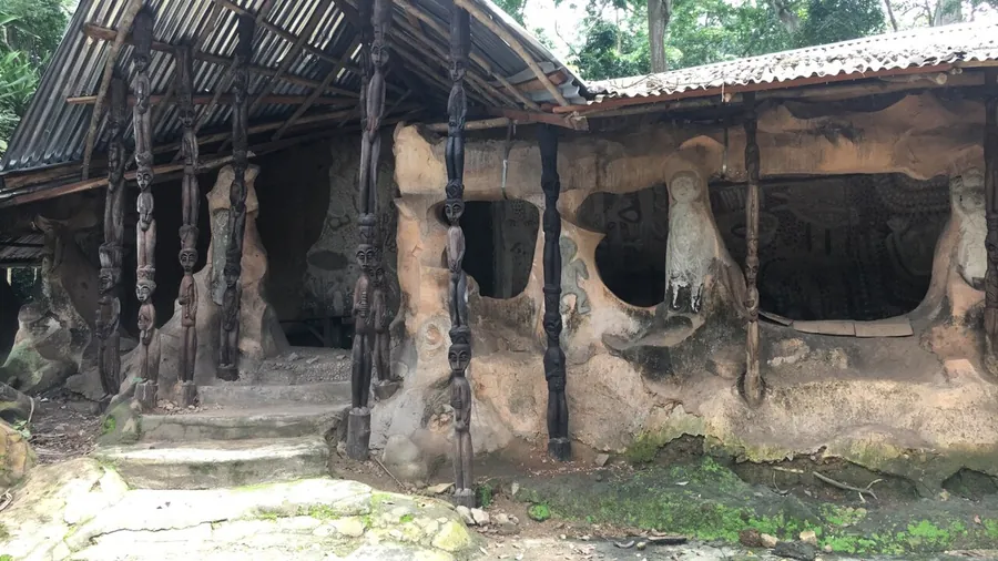
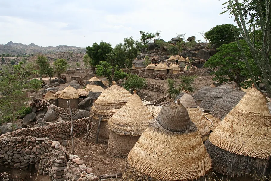
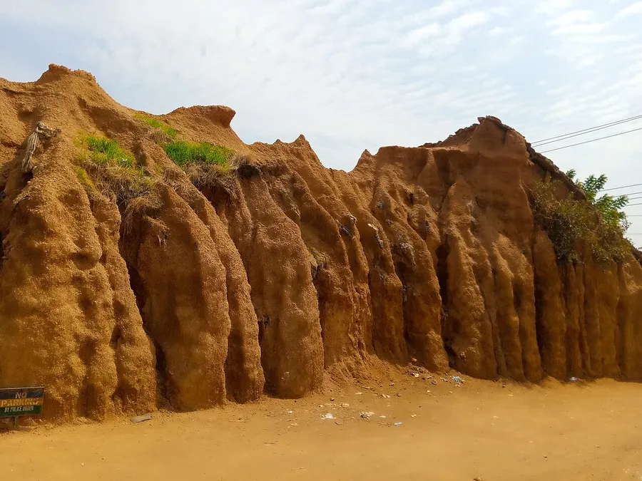
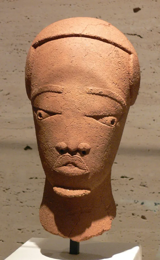
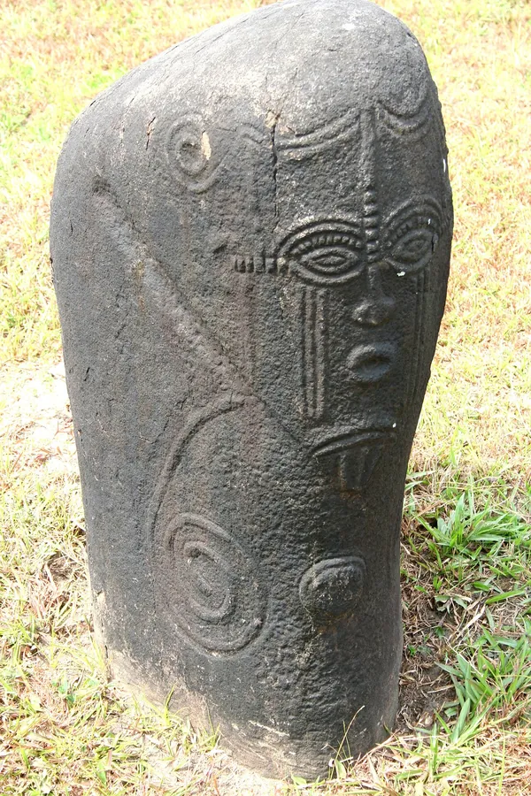
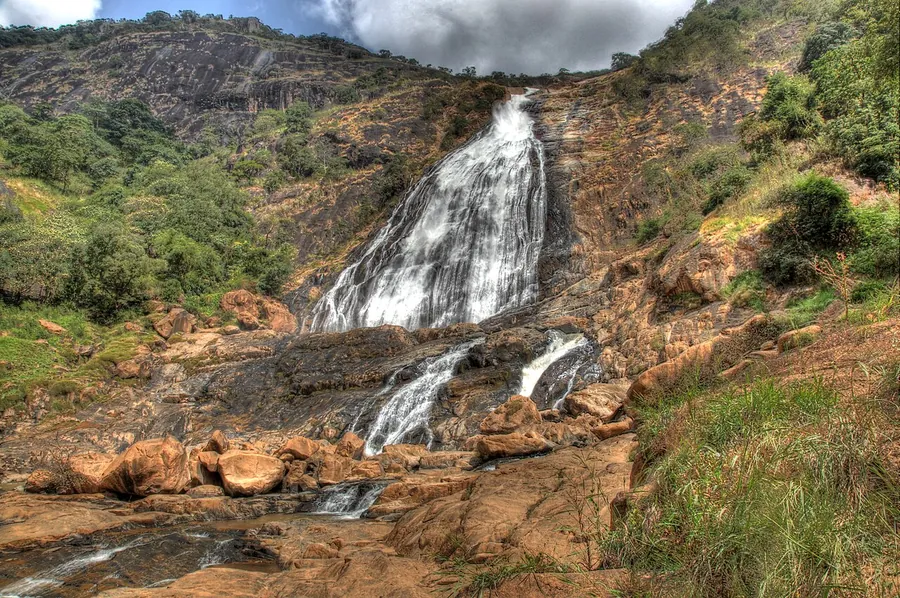
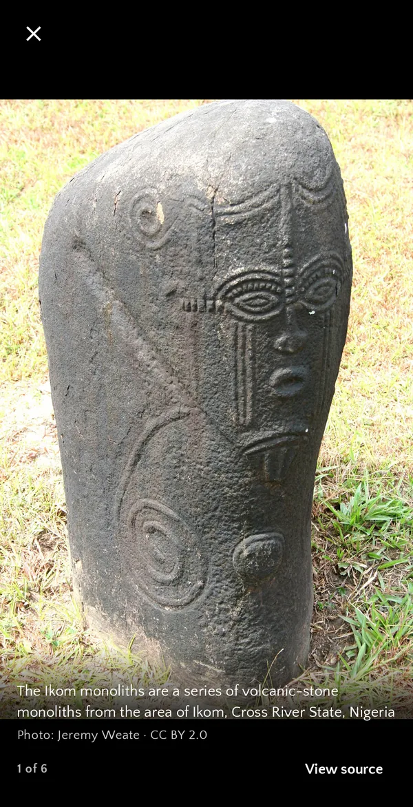
Every site has its history, the facts that matter, a photo gallery and directions. No account, no ads, and it keeps working when the signal drops.
Browse ten categories, from UNESCO sites and royal palaces to rock art and colonial history. Search by name, state or town, or sort by what's nearest.
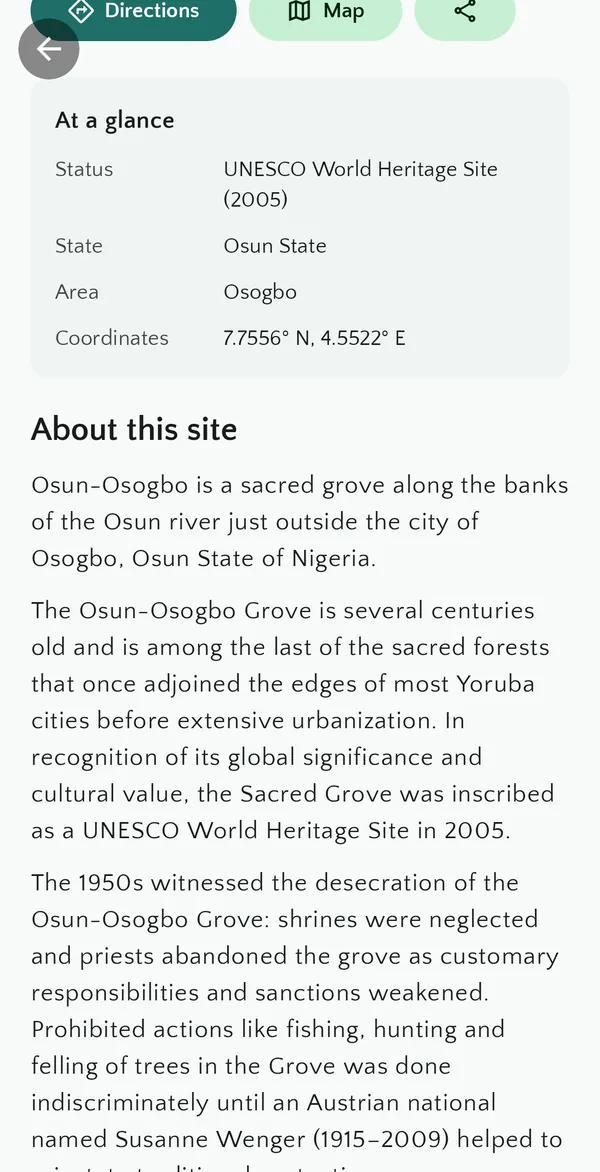
The history and significance of each place, with its state, status, age and coordinates, plus directions in your maps app and the heritage sites nearby.
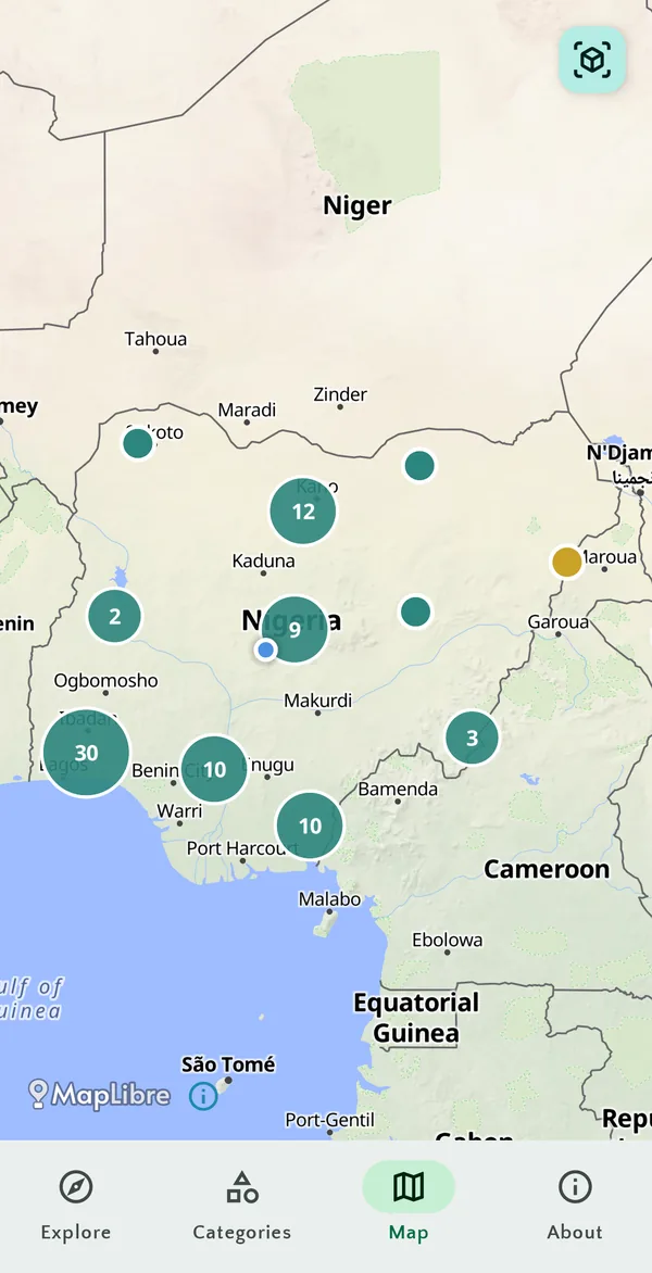
Every site on an open map of Nigeria, grouped by region, with World Heritage Sites picked out in gold.
Hold up your phone and see heritage sites in the direction they lie from where you stand, with their distance. Tap one to learn more.
Descriptions come from Wikipedia, facts from Wikidata and OpenStreetMap, designations from UNESCO. Every page lists its sources.
No account, no ads, no tracking. Your location stays on your phone, and content you've opened is there offline.
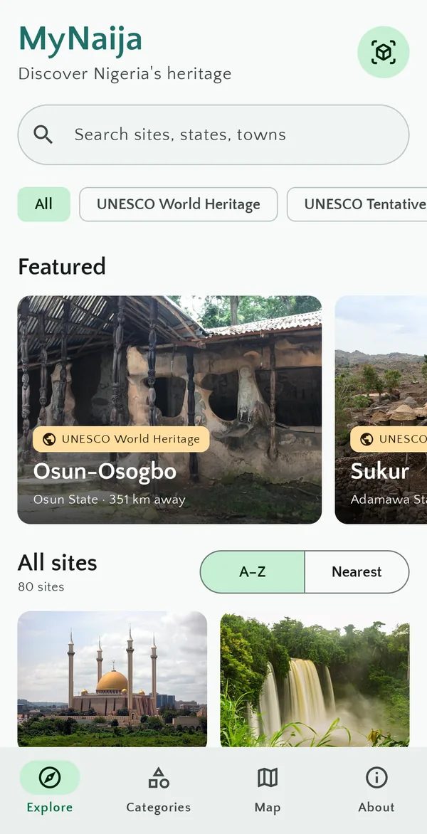
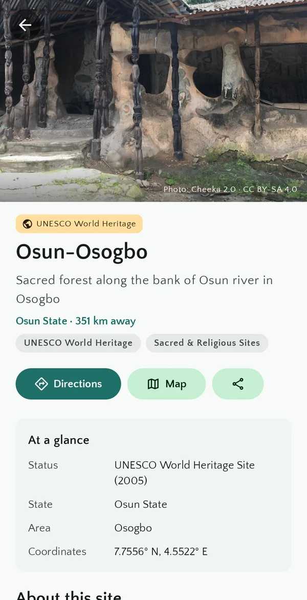
This list loads live from the same content server the app uses.
MyNaija is built on openly licensed sources. The app credits each one on the page where it's used, and links back to the original.
Site descriptions, excerpted and linked to the exact article revision.
CC BY-SA 4.0Photographs, each shown with its author, licence and source page.
CC0, public domain, CC BY, CC BY-SACoordinates, states, dates and official websites.
CC0Map data, and locations for a few sites, served through OpenFreeMap.
ODbLWorld Heritage and Tentative List designations, linked to their listings.
Linked reference
MyNaija is developed by Samuel Adoga at Xiden Games. For details, contact samuel@xidengames.com.